
Map position
Leonida map square E7; near Ambrosia.
Leonard County is a named county in GTA VI’s Leonida. It appears in map square E7, near Ambrosia.
Square E7 provides a useful starting point when locating Leonard County on the wider map. Ambrosia is another named location in the surrounding area. The name identifies an administrative area, not a single town or building.
Leonard County covers part of Leonida’s eastern interior around Ambrosia, Belville and Lake Leonida. Its map labels place agricultural and industrial areas alongside smaller settlements.
Leonida map square E7; near Ambrosia.
The name identifies an administrative area, not a single town or building.
Gellhorn Raceway is a named landmark in GTA VI’s Leonida. It appears in map square F3, near Gellhorn.
→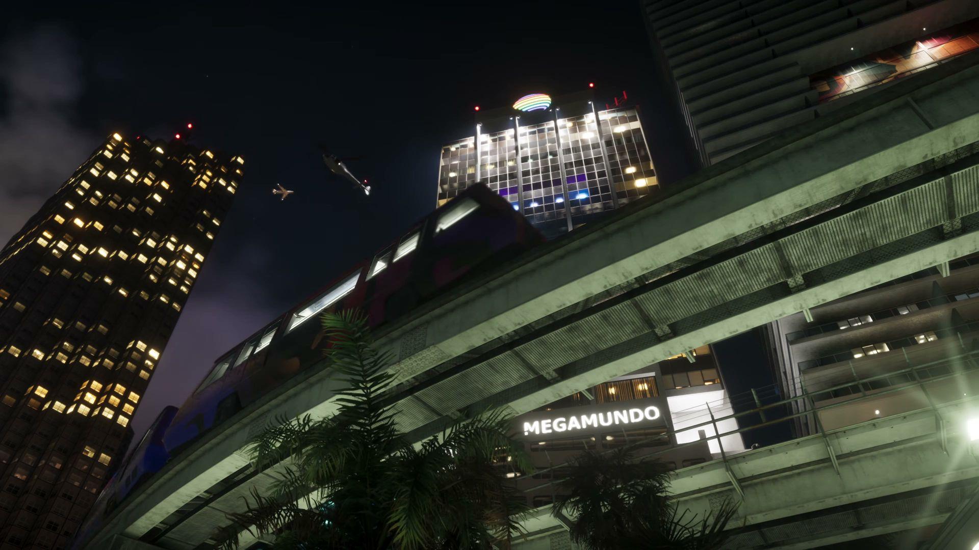
Megamundo Building is a named building or complex in GTA VI, within the state of Leonida.
→Emerald River is a named waterway or geographical feature in GTA VI’s Leonida. It appears in map square F5, near Ambrosia.
→